A stop on a much longer journey
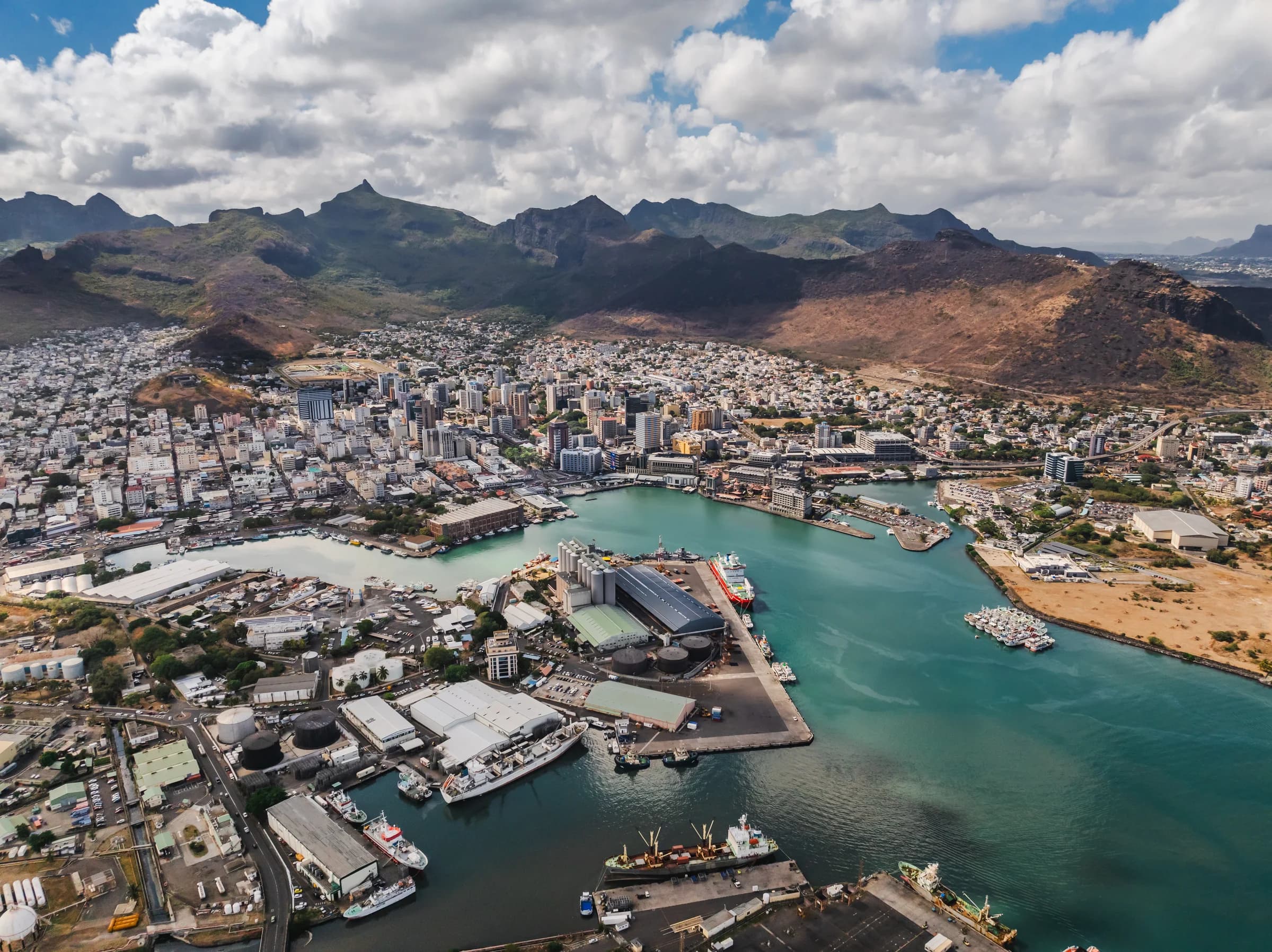
Port Louis supplied French ships travelling between Europe and Asia around the Cape of Good Hope. Its importance was therefore connected to journeys far beyond Mauritius. A harbour needed more than somewhere to anchor. Shipbuilding, supplies and administration helped turn maritime activity into urban development. When you look towards the water, imagine the city as one link in a much larger route.
Why the Suez Canal mattered
The Mauritius Ports Authority records a fall in ship calls after the Suez Canal opened in 1869. A change thousands of kilometres away could alter the role of Port Louis. This is a useful way to understand port history. Location alone does not guarantee prosperity; shipping routes and the way vessels travel can change the fortunes of a harbour.
From small cargo boats to quays
The authority describes earlier cargo operations using lighters, small vessels carrying goods between ships and shore. Modernisation in the late 1970s brought more handling alongside quays. The Bulk Sugar Terminal began operating in 1981. These changes affected how goods moved through the port, not simply how the skyline looked. Read the waterfront as a place of labour and infrastructure as well as a view.
What a visitor can observe
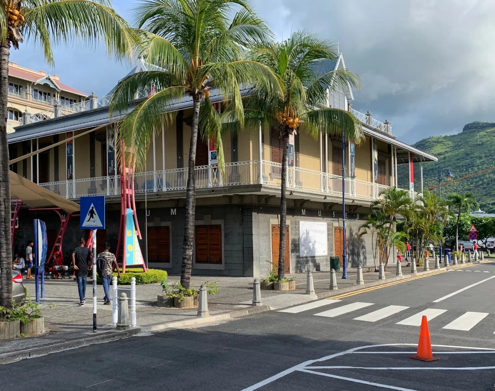
Use the public Caudan Waterfront for a pause beside the harbour. Notice the difference between places designed for strolling and areas devoted to port operations. Stay within public areas and do not treat an industrial entrance as a shortcut. There is no need to identify every vessel. Watching how water, roads and buildings fit together already adds another layer to a city visit.
Before you go
Is the waterfront the same as the working port?
No. Caudan is a public shopping and cultural waterfront. Operational port areas have different purposes and access arrangements.
Can this guide tell me which ships will be there?
No. It explains the harbour’s history and how to observe it from public space, rather than providing a live vessel schedule.